News tagged photogrammetry
-
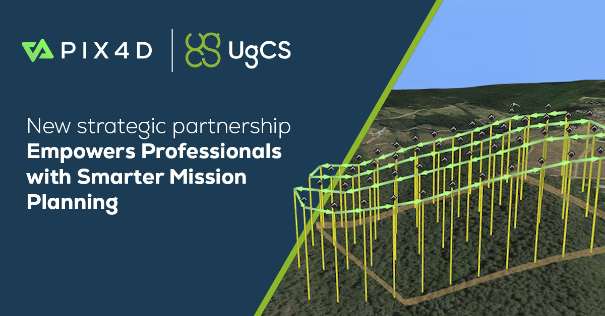
New Partnership Between Pix4D and UgCS Empowers Professionals with Smarter Mission Planning
Pix4D, a global leader in photogrammetry and geospatial software solutions, and SPH Engineering’s UgCS, a trusted provider of advanced drone mission planning software, have announced a new strategic partnership. This collaboration aims to combine precise mission planning with high-end photogrammetry processing. The agreement reinforces both companies’ commitment to delivering robust, integrated tools for drone professionals. UgCS’s drone […]
-
Blending iPhone LIDAR with photogrammetry, this reality capture startup is now targeting the AEC sector The post Polycam for AEC appeared first on AEC Magazine.
-
Topcon and Pix4D sign photogrammetry agreement
Topcon will become authorised distributor of Pix4D’s photogrammetry software The post Topcon and Pix4D sign photogrammetry agreement appeared first on AEC Magazine.
-
SPH Engineering and Pix4D have announced a partnership that will transform the future of drone surveying and GIS management. The cooperative solution is developed for companies with a high demand for data protection looking for on-premises alternatives. This collaboration is designed for the construction, mining, and energy sectors. Driven by the core philosophy of seamless spatial data […]
-

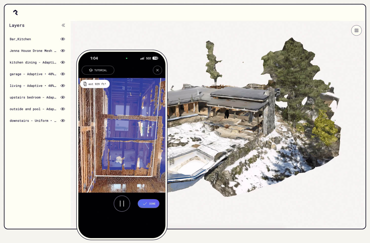
Virtual Surveyor Unveils Photogrammetry App in Major New Release of Smart Drone Survey Software
AARSCHOT, Belgium – Virtual Surveyor has added drone photogrammetry capabilities to the latest release of its popular Virtual Surveyor smart drone surveying software. The new Terrain Creator app photogrammetrically processes drone photos to generate survey-grade terrains which then transfer seamlessly into the traditional Virtual Surveyor workspace where the real survey work can be performed. “Virtual Surveyor […]
Posts tagged photogrammetry
Questions tagged photogrammetry

Businesses tagged photogrammetry
-

Chartered Surveyor with 40 years experience with particular interest and expertise in land and boundary issues, neighbour disputes. We provide opinion, reports and testimony on land boundaries, easements, rights of way for solicitors, barristers and court. We also provide forensic mapping services in respect of land Title issues and mapping for boundary rectification and property registration. Other services include "Realtime" Measured building surveys, Land mapping and surveying, GIS data collection, 3d modelling and visualisation using terrestrial photogrammetry and ortho rectification. We also provide a full range of UAV mapping, modelling and inspection services including thermal imagery.
-

Drone Tech Aerospace Ltd (DTA)
DTA focuses on the complex engineering sector of the aerial surveying market where our extensive engineering background gives us the edge. Aerial surveying excellence in : * Safety * Piloting * Software * Engineering * Drone Technology
Get full access to our construction knowledge base, latest news and updates ... Join the discussion.