News tagged Drones
-
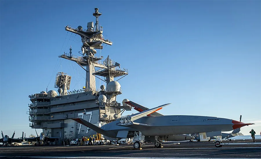
Navy Awards $118M Contract for Drone Facilities at Naval Station Norfolk
Recently awarded Navy project will transform a contaminated Norfolk site into a permanent operational hub for MQ-25 carrier-based drones by 2029.
-
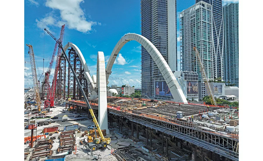
Texas & Southeast February 2026 Snapshot
Bryant often uses drones to capture the complex structure’s still-emerging curves.
-

Lessons Learned Flying LiDAR and Working with Surveyors & Engineers
What I’ve learned from my experience working with surveyors and engineers flying drones and processing data is this: flying drones using various sensors like LiDAR isn’t the difficult part. Getting accurate, reliable, and usable deliverables is a whole different story. When I first started out, the first couple of projects I tried LiDAR on would be […]
-

OpenSpace Creates Construction Reality Capture Platform with OpenSpace Air
OpenSpace Air is a platform for collection and analysis of reality capture data from drones, scans, site surveys and 360-degree images.
-
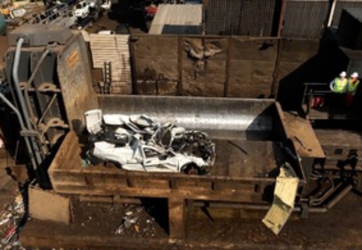
Fly-tippers to get their vehicles crushed
Drones will be used to identify cowboy construction waste operators
Resources tagged Drones
-
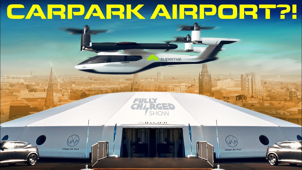
Fully Charged Show - The World's FIRST Vertical Airport for Flying Cars! 07062022
If drones and eVTOL are to become an everyday part of our lives, they're going to need a lot of places to take off and land from. Luckily there are a few companies designing urban airports or 'vertiports' and thinking about how they should best fit into cities. One such company is Urban-Air Port Ltd who built a version in Coventry, UK. Unusually, they have opted to make these new bits of infrastructure temporary in order to see if eVTOL and drones could be used to support communities in need
-
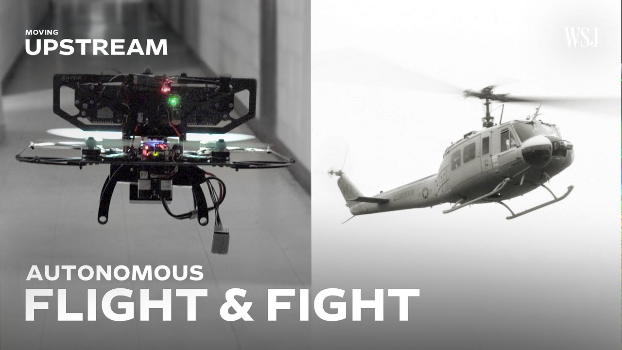
WSJ - Moving Upstream S2 E5 - The Future of Flight, AI in the Cockpit, 12112018
AI-empowered systems may soon allow autonomous flying machines to reduce the number of pilots and soldiers working in high-risk environments. Could these flying robots also be firing weapons? WSJ’s Jason Bellini reports
-
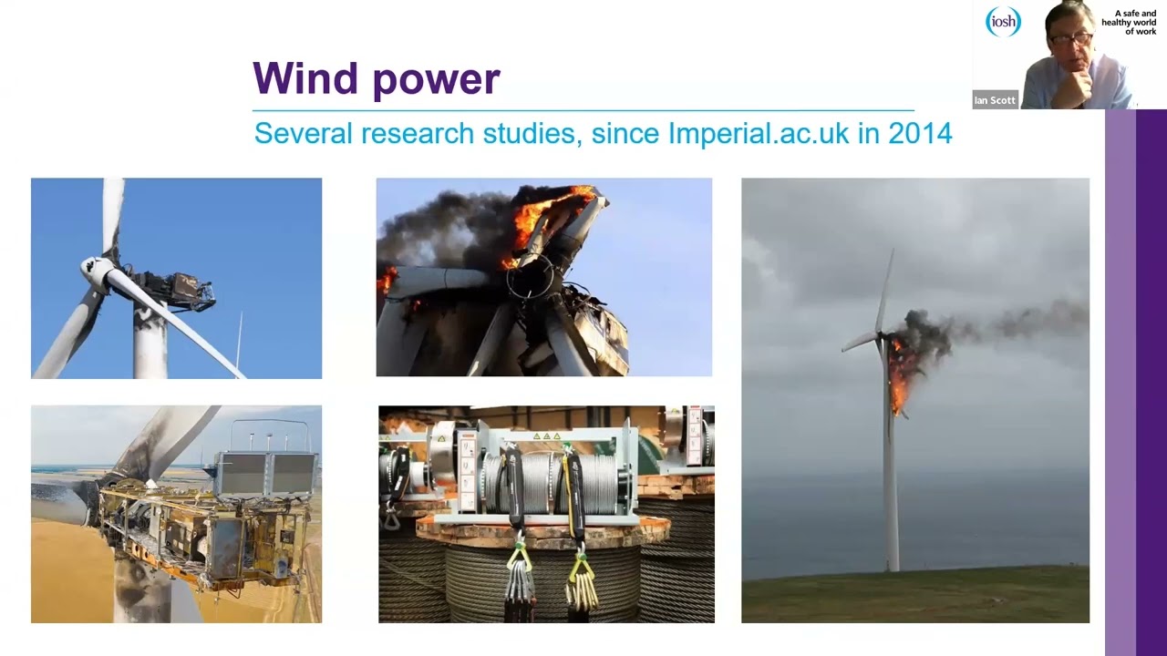
IOSH - Fire Risk Management (6 of 6) - Emerging technologies, 11032022
This webinar - the 6th and final one of the series - provides an understanding of “Utilising New and Emerging Technologies to combat fire”
-

Nature Video - 3D printing with drones, 21092022
Researchers have mounted 3D printers onto drones with the aim of creating swarms of robots that could 3D print entire buildings. The aerial vehicles were specially designed to be able to deposit a cement like material with enough precision to build tall structures. Groups of them together could do the job even faster. The idea is that 3D printed shelters could be greener than standard construction methods, and drones could be useful in reaching difficult to access areas.
-
Nature - 3D printing with drones, 21092022
Researchers have mounted 3D printers onto drones with the aim of creating swarms of robots that could 3D print entire buildings. The aerial vehicles were specially designed to be able to deposit a cement like material with enough precision to build tall structures. Groups of them together could do the job even faster. The idea is that 3D printed shelters could be greener than standard construction methods, and drones could be useful in reaching difficult to access areas.
Posts tagged Drones
Businesses tagged Drones
-

Drone Tech Aerospace Ltd (DTA)
DTA focuses on the complex engineering sector of the aerial surveying market where our extensive engineering background gives us the edge. Aerial surveying excellence in : * Safety * Piloting * Software * Engineering * Drone Technology
-

"Established in 2004, Photodrones is the UK’s original Aerial Imaging Company. With unrivalled experience, technical knowledge and safety record, Photodrones holds unique and privileged permissions to fly in congested areas and cities worldwide, including the USA. Best High Resolution Drone photography & videography for your personal or commercial projects in Bristol & Cornwall, London. Email us at [email protected] or Call 07836585284 Photo Drones today!
-

TrueView Drone Services are a UK based commercial drone services company providing Unmanned Aerial Vehicle services across the built environment ranging from topographical survey data, stockpile measurements, building surveying and inspections including 3D modelling, thermal imaging data, 2D mapping for site progress as well as photography and videography. We are photogrammetry specialists and with our top of the range drone fleet we can quickly and safely gather accurate survey grade data, ultimately saving money in the process, and process it to get the accurate results required. We work across the UK and Ireland with main contractors, subcontractors, consultants, developers and local authorities.
Get full access to our construction knowledge base, latest news and updates ... Join the discussion.