News tagged GPS
-
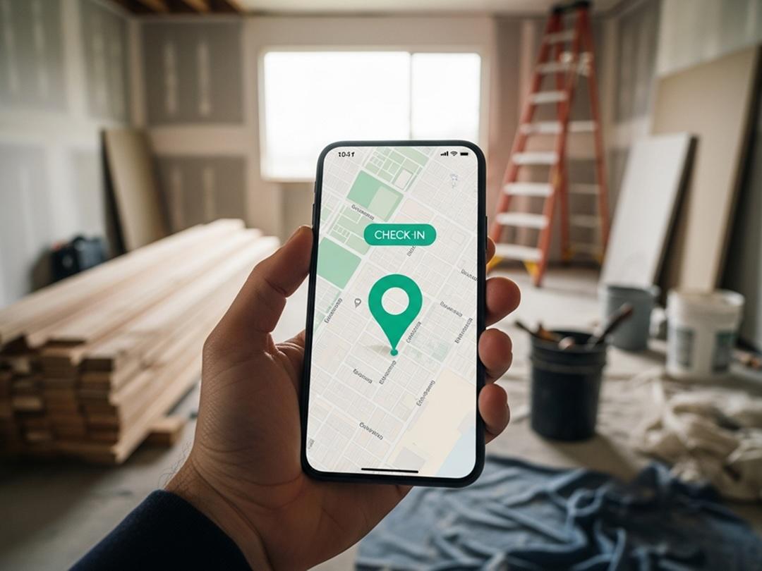
TaskTag Highlights GPS Time Tracking for Contractors and Launches New Roofing Software Buyer’s Guide
TaskTag’s GPS Time Tracking helps contractors eliminate missing timesheets, verify jobsite attendance, and streamline payroll preparation.
-
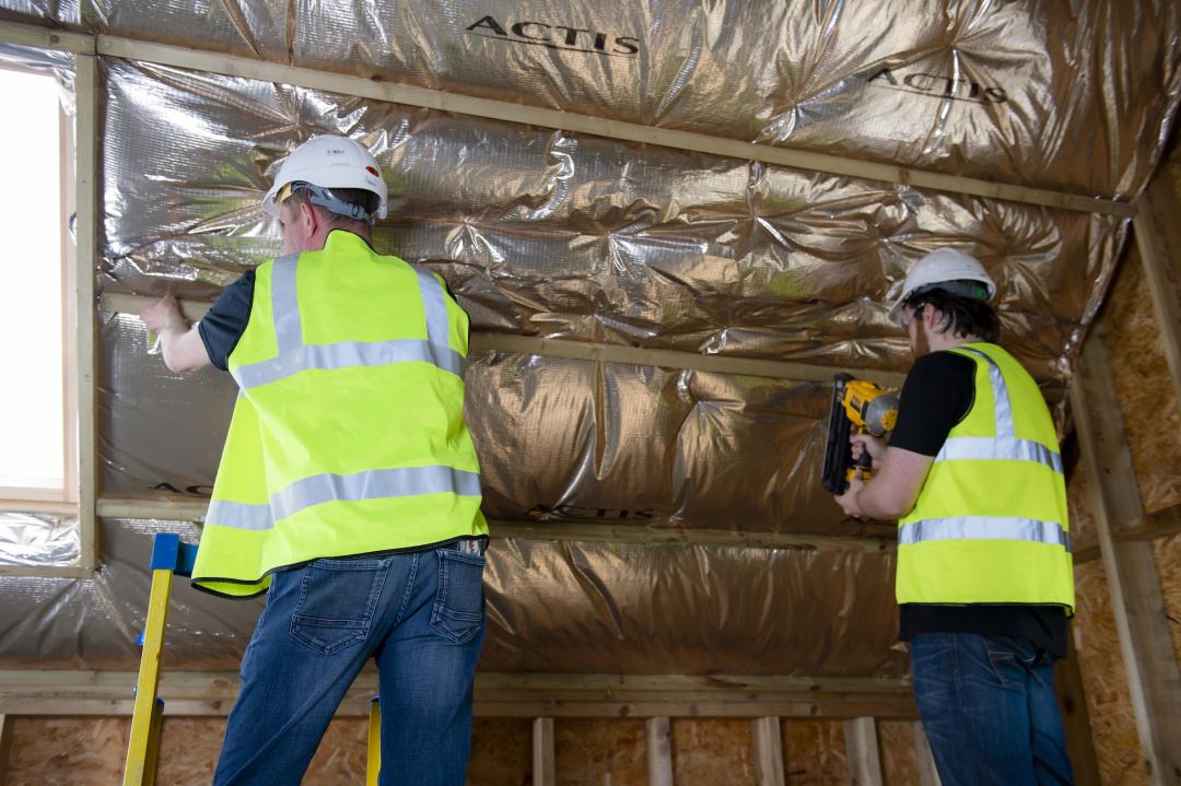
Hottest May day for 80 years sparks Actis reminder that certain insulations can reflect heat
With the UK experiencing its hottest day in May for more than 80 years this Bank Holiday weekend, insulation specialist Actis is repeating its reminder that some insulations reflect heat, keeping buildings cool, while others make homes unbearably hot.
-
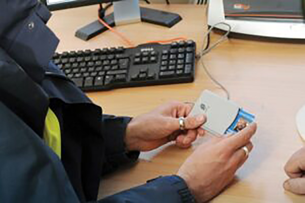
CSCS Smart Check upgrade adds detailed workforce data
The Construction Skills Certification Scheme (CSCS) has upgraded its Smart Check platform to provide contractors and industry bodies with more detailed site-level workforce data, including GPS location, site ID and the reason for each card scan. The update to the card verification platform went live… The post CSCS Smart Check upgrade adds detailed workforce data appeared first on Construction News.
-
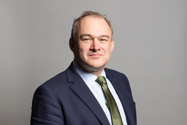
Lib Dems propose making developers build GP surgeries for every scheme
Lib Dem leader Sir Ed Davey said levies on developers would could also be used to pay the contracts or salaries of GPs. The post Lib Dems propose making developers build GP surgeries for every scheme appeared first on Property Week.
-

Budget 2025: New powers proposed to tackle CIS tax fraud
HMRC is seeking new powers to crack down on fraud within the Construction Industry Scheme (CIS), including the cancellation of Gross Payment Status (GPS) for companies linked to tax evasion. Plans announced in the Autumn Budget will see legislation created to amend the Finance Act… The post Budget 2025: New powers proposed to tackle CIS tax fraud appeared first on Construction News.
Resources tagged GPS
-
Tom Scott - The Concrete Pillars On Top Of British Hills: Trig Points, 08122014
Around the United Kingdom there are odd concrete pillars on the top of hills, built to last for decades if not centuries. They've got a cryptic marking on them, and the words "Ordnance Survey Triangulation Station". What are they? (They're trig points.) Who put them there? (Brigadier Martin Hotine and thousands of people working with him.) And why? (To get an accurate map of the UK, with maths.)
Get full access to our construction knowledge base, latest news and updates ... Join the discussion.