News tagged GIS
-

London Gatwick creates new geospatial platform for airport
Platform uses Esri GIS technology to support multiple operational areas, including engineering and environmental services The post London Gatwick creates new geospatial platform for airport appeared first on AEC Magazine.
-
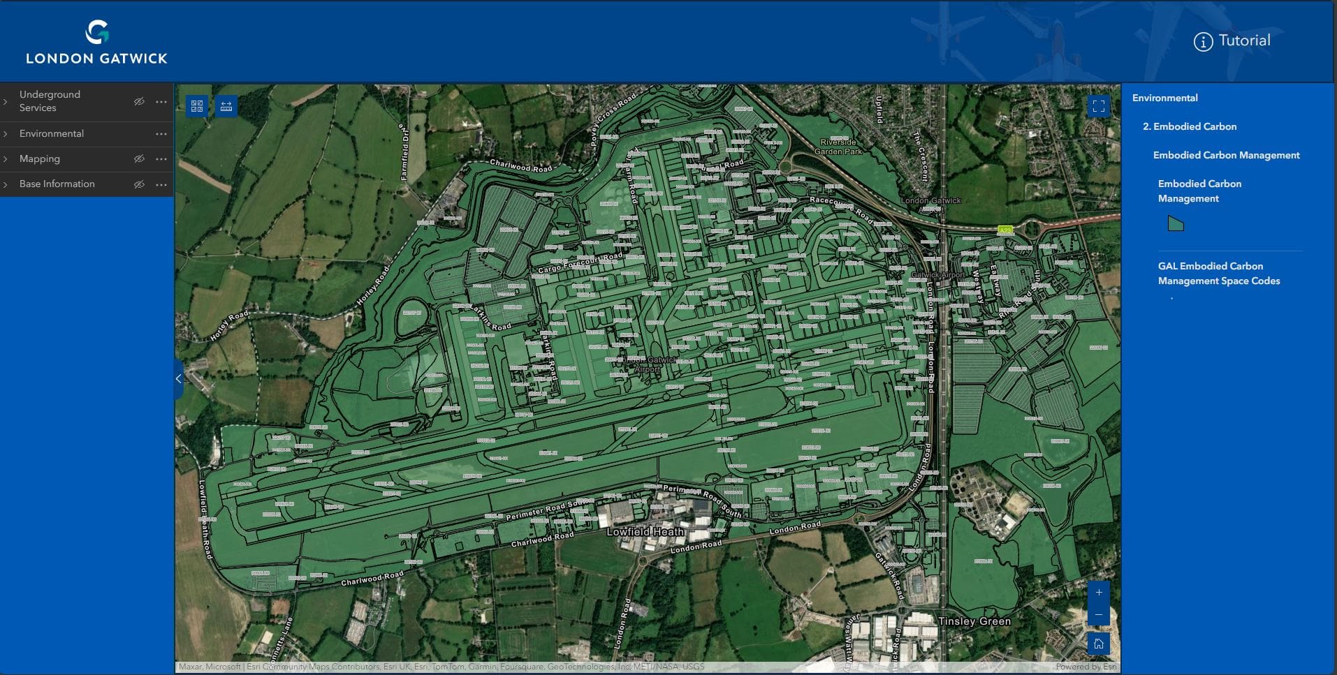
GIS tech to enhance construction and engineering works at Gatwick airport
Created using Esri's GIS technology, London Gatwick's new geospatial platform will support multiple operational areas at the airport, including engineering and environmental services. The post GIS tech to enhance construction and engineering works at Gatwick airport appeared first on Planning, Building & Construction Today.
-
Why Is GIS Such an Important Part of the Asset Lifecycle?
Integrating spatial data into asset management systems helps organizations to gain better insights into the geographic context of their assets.
-
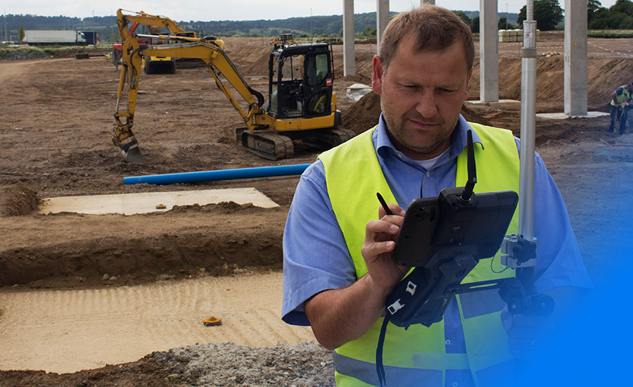
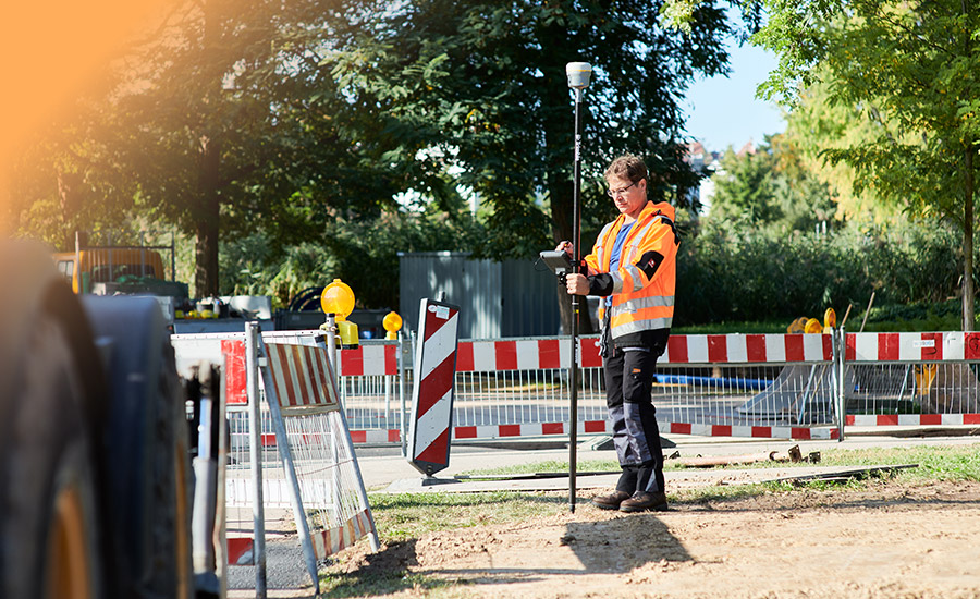
The Role of GIS in Infrastructure Asset Maintenance
GIS data capture needs to start during the construction and inspection phases to be truly effective during the infrastructure asset maintenance stage of a project.
-
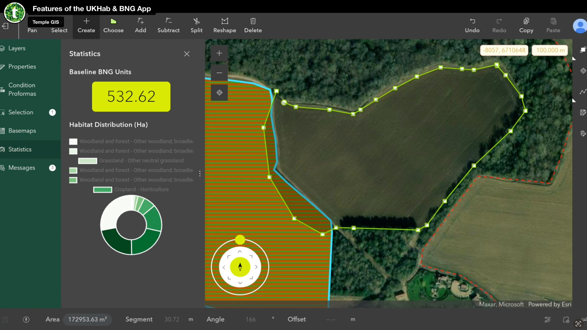
Temple launches biodiversity net gain assessment tool
Streamlined workflow, powered by Esri GIS technology, helps AEC firms meet new legislation The post Temple launches biodiversity net gain assessment tool appeared first on AEC Magazine.
Get full access to our construction knowledge base, latest news and updates ... Join the discussion.